| Home | Warning | Gear | Books | Photography | Hikes | Links | Flora & Fauna | Etiquette | About Me | What's New |


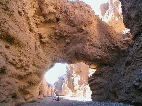
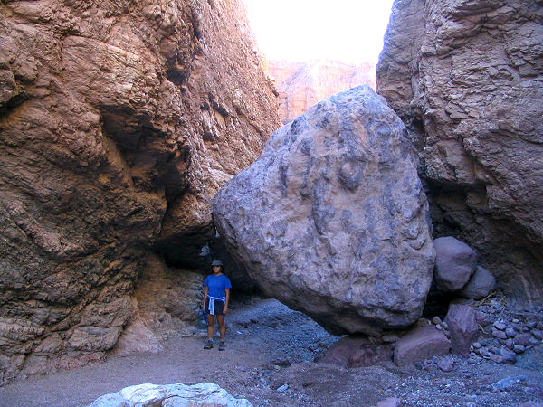
Natural Bridge Canyon - Death Valley National Park

Summary: A short hike to a large conglomerate natural bridge, located south of Furnace Creek on Badwater Road.
Directions: From Furnace Creek, drive south on Badwater Road 13.2 miles to the signed road to Natural Bridge on the east. Drive 1.5 miles up this bumpy dirt road (suitable for passenger cars if you take it slow) to the parking lot, bathroom and trailhead.
Road Conditions: Passenger Car
Navigation: Easy
Length: ~1 mile
Date Hiked: November 2004
Weather Conditions: Pleasant and sunny
Required Skills: None
Hike Description: From the parking area, slog your way up the deep gravel of the canyon 0.3 miles to the natural bridge. Another 15 minutes will bring you to a 20 foot dry fall which a good climber can get up (though if you're like me, you'll find getting back down to be more challenging). Above is another big dry fall formed by a large chock stone which I did not attempt to climb. Return the way you came.
Rating (1-5 stars):
The author and his wife hiked to the bridge and beyond and back in 1 hour.
Maps: Trails Illustrated - Death Valley National Park
Photos: Click picture for larger view, click your browser's 'Back' button to return to this page.

Natural Bridge. The scene further up canyon.