| |
Grant Creek Trail, Pinaleno
Mountains
| Summary: |
A hike to a tall, trickling waterfall that involves an
elevation loss, and gain, of 2,700 feet. |
| Directions: |
From Phoenix take Highway 60 east to
Globe, then follow Highway 70 east towards Safford. From Safford drive south
on US 191 for 7.5 miles to AZ 366. Turn right (southwest) onto AZ 366
towards Mt. Graham and drive 26 miles to just before milepost 140 and turn
left at the sign for Cunningham Camp. Drive to the back of the campground
and park next to the outhouse and sign for the Grant Creek Trail #305. |
| Road Conditions: |
Passenger Car |
| Navigation: |
Easy |
| Length: |
~10 miles |
| Date Hiked: |
June 2006 |
| Weather Conditions: |
Sunny & warm |
|
Required Skills: |
 |
| Hike Description: |
From the trailhead, follow the Grant Creek Trail #305 a
short distance down a hill, then up the other side to a signed trail
junction. Turn left, remaining on the Grant Creek Trail, and follow the path
as it winds its way at a fairly level grade along a ridge. The path then
descends a short distance to reach an overlook of the large drainage of
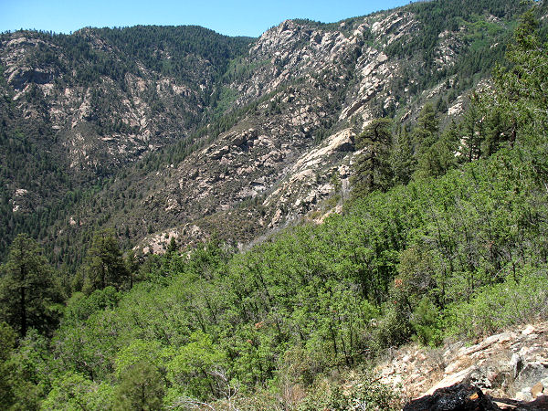
Grant Creek which will be off to the left. The trail then begins descending
in earnest along a series of switchbacks as it drops 2000 feet down through
a forest of fir > pine > pine/oak (note the changing ecological life zones
as you descend) along a partly shaded path into the drainage of Post Creek.
The path then bends left (south) to follow Post Creek for about 1 mile down
to the confluence where Post and Grant Creeks merge. Though the confluence
of the two creeks is a little difficult to spot due to the many trees in the
area, it can be identified by a large campsite just to the left of the trail
and a white PVC pipeline that runs down Grant Creek. At the campsite, leave
the trail to the left and pick up another path (not marked on the map) which
passes beneath the pipeline at a point where it is suspended by cables.
Follow the trail as it heads up Grant Creek (paralleling the pipeline).
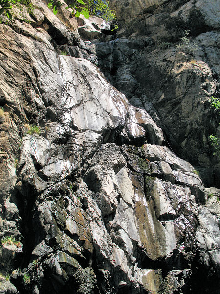
After about 20 minutes of walking you'll reach Grant Falls - a 200 foot
granite wall with a trickling falls and pool (that was frequented by many
butterflies, particularly Two-tailed Swallowtails, when I was here). When
ready, return the way you came. |
| Rating (1-5 stars): |

The author and his wife completed the hike in 8 hours at an unhurried pace. |
| Maps: |
Coronado National Forest - Safford and Santa Catalina
Ranger Districts |
| Books: |
None used |
| Photos: |
Click picture for larger
view, click your browser's 'Back' button to return to this page. |
 |
 |
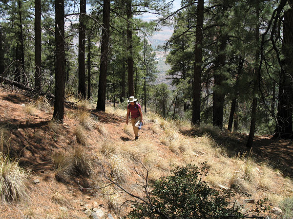
| The Grant Creek Trail. |
Typical view on the descent. |
 |
 |
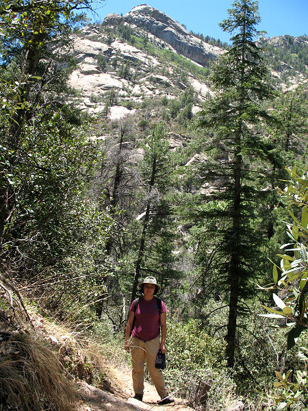
| Another view along the trail. |
Grant Falls. |
|
|
