| |
Granite Mountain - Prescott National
Forest
| Summary: |
A nice 1/2 day hike to a view point on
Granite Mountain. |
| Directions: |
From
Phoenix drive north on I-17. Exit onto State Highway 69 and drive
north until it ends in Prescott. Turn left onto 89 South (also called
Sheldon St.) and drive 1.3 miles to a 'T' intersection with Montezuma St.
(there is a Fifth Third Bank on the right of this junction). Turn right
onto Montezuma, though next time you see a sign the road will have turned
into Whipple. After 1.5 miles the road changes names once again becoming
Iron Springs Rd. and if that's not weird enough it is also State Route 10.
After 3 miles turn right on the paved Granite Mt. Trail (which is also FR
374). Follow the signs for the Metate Trailhead which you will reach
in 3 1/2 miles. There is a $2 per car load self registration station at
the trailhead parking lot. |
| Road
Conditions: |
Passenger Car |
| Navigation: |
Easy |
| Length: |
~5 miles |
| Date
Hiked: |
February, 2001 |
| Weather
Conditions: |
Cold with lots of snow! |
|
Required Skills: |
None |
| Hike
Description: |
From the signed trailhead begin walking
along the Granite Mountain Trail (#261). The path descends slightly,
bends left then for the next mile follows the front range of Granite
Mountain. The range is quite pretty with juniper and pine mixed among the
rounded pink granite boulders. A short distance later you will pass the
wilderness boundary and trail register. As you continue your walk you will
see a large cliff face off to the left. The area around the cliffs + 100
ft buffer around the ridge is a breeding area for endangered Peregrine
Falcons and is off limits Jan 1 - July 15. Most people think of cheetahs
when they think of the worlds fastest animals (they are the fastest land
animal). In the air Peregrines have no equal having been clocked at speeds
in excess of 200 mph when diving for prey! After a mile or so of walking
you will reach an intersection and gate (1 mile). Trail #39 continues
through the gate, however we will remain on #261 by turning right and
begin the moderate ascent of the mountain. The trail negotiates a series
of switchbacks as it continues up the mountain towards Blair Pass to the left
of the cliff face. A mile of climbing will bring you to the saddle (2
miles). Follow the arrow on the small wooden sign pointing right and
continue climbing. The trail climbs around the back side of the hill
through a pine forest, then follows a level ridge around the front before
crossing a stream bed and climbing a short distance to a view point (pack
animals not allowed) at the top of the cliff (2.5 miles). You are standing
on the most scenic mountain in the area though, so the view is really not
that spectacular. When ready, return the way you came (5 miles).
|
| Rating
(1-5 stars): |

When the author and his wife completed this hike there was a considerable
amount of snow from a recent storm. Lower elevations had 1-12 inches on
the ground, while in the mountain areas it was over our knees. Since no
one had hiked the trail since the storm we had to plow our own path making
for slow going (though we had the mountain to ourselves). We completed the
hike in 4 1/2 hours and were grateful to reach the parking lot again and
change out of cold wet shoes. |
| Maps: |
Prescott
National Forest map - not very good, Granite Mountain Wilderness map -
good |
| Books: |
None |
| Photos: |
Click picture for larger
view, click your browser's 'Back' button to return to this page. |
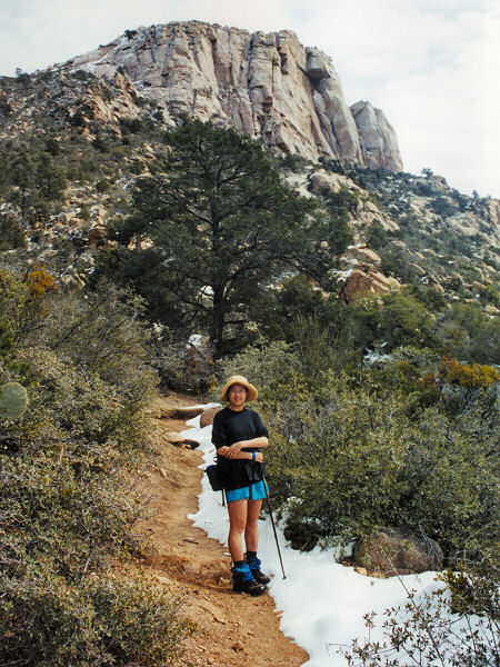 |
On the way up
to Blair
Pass. |
|
|
