| |
Horse Trail Route - Little Colorado
River, Navajo Nation
| Summary: |
A
fairly well-cairned route which follows an old
horse trail down an unnamed drainage into the
Little Colorado River Gorge. |
| Directions: |
From Flagstaff, drive north on Highway 89 to
Cameron. Stop in at the Navajo Parks and
Recreation Office located on the left just
before the junction with Highway 64 and pick up
a Navajo hiking permit ($5 per person per day).
Continue north on Highway 89 about 1 mile past
the junction with Highway 160 to between mile
markers 482-483 and turn left (west) on Navajo
Road 6134 just before reaching a large butte.
Follow #6134 for 14.2 miles ignoring any minor
roads which branch to one side or the other.
Turn left onto Navajo Road 6133, then
immediately turn right onto an unnamed dirt
track. Continue for 0.8 miles to a fork in the
road. Stay to the right and follow the road a
short distance to the end at the rim of the
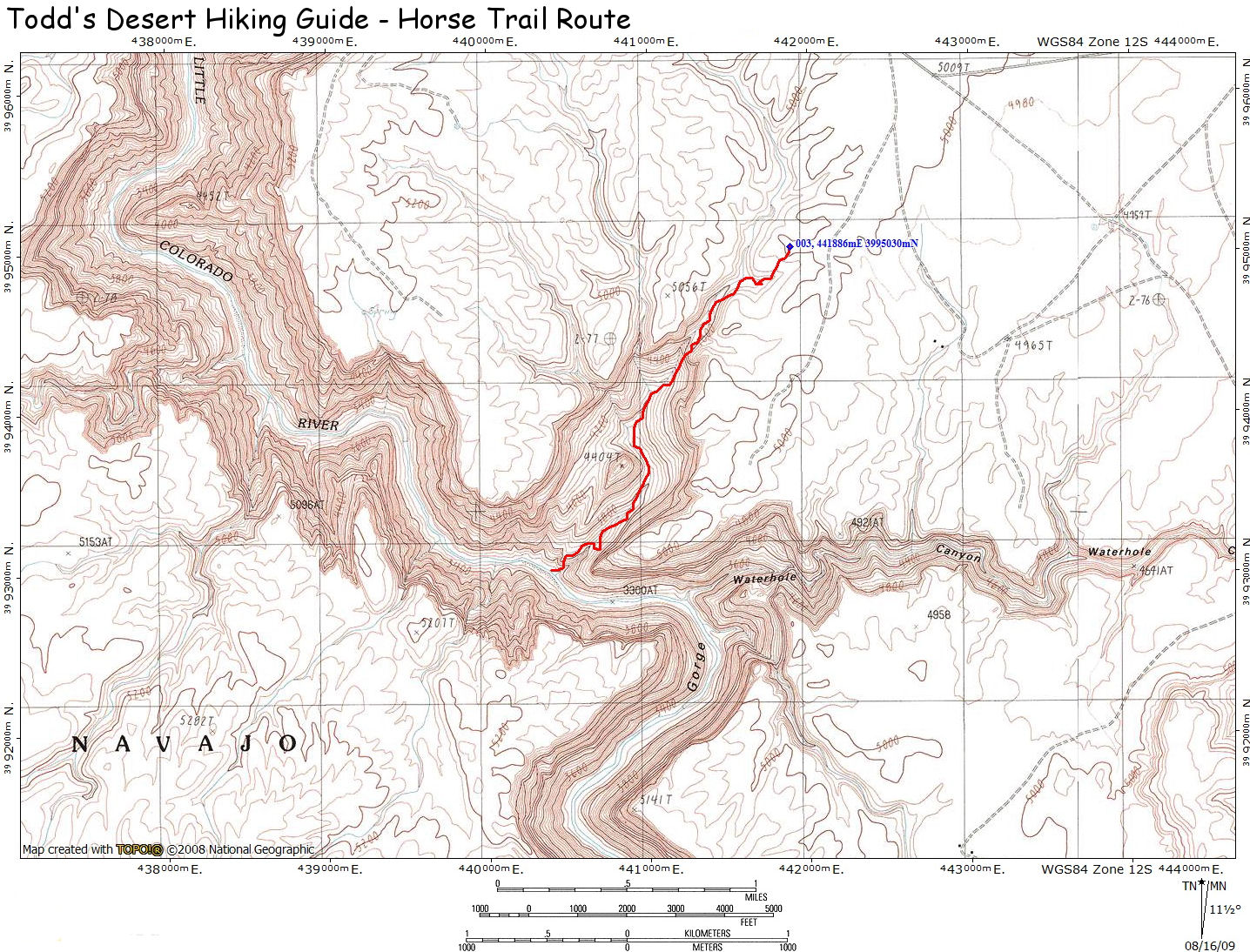
canyon at GPS Point
UTM: 12S
441886 mE, 3995030
mN, WGS84 Datum. |
| Road Conditions: |
High Clearance
Vehicle |
| Navigation: |
Moderate |
| Length: |
~4 miles |
| Date Hiked: |
June 2009 |
| Weather Conditions: |
Hot and Sunny |
|
Required Skills: |

 |
| Hike Description: |
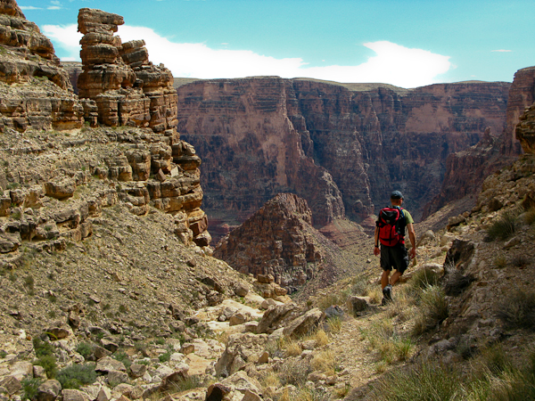
From the car park, walk off the plateau to the
left (south) to enter a minor drainage. As you
descend you'll be able to pick up the remnants
of a horse trail. The path descends to a
drop-off which it bypasses via a cairned route
on the left. Once this cliff band is passed, the
route switches over to the right side of the
drainage and continues down to the canyon
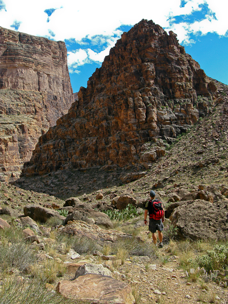
bottom. Simply follow the cairns down canyon. As
you approach the river, the path bypasses a
cliffband in the Supai Sandstone on the left,
then cuts sharply back to the right (west) to
travel along a distinct section of trail along a
series of ledges to a point overlooking the
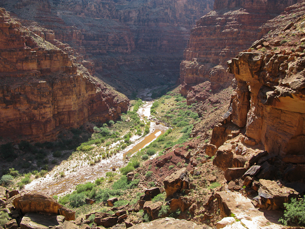
Little Colorado River. The path then descents
more steeply down a rocky slope to the mouth of
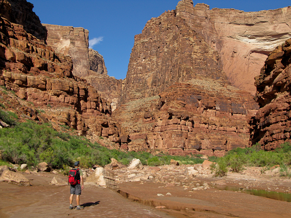
the drainage and the river. From this point it's
possible to explore either up or down canyon. |
| Rating (1-5 stars): |

The author and a friend completed the hike,
exploring a few miles of the Little Colorado
Gorge in 2.5 hours. |
| Maps: |
Click
here
for a map of the hike. |
| Photos: |
Click picture for larger view, click your browser's 'Back' button to return to this page. |
|
|
