| |
Gold Gulch - Apache /
Sitgreaves National Forest
| Summary: |
A short down
and back hike through a nice section of narrows
in western AZ. |
| Directions: |
Drive Highway 191 north from
the small town of Clifton. Turn left (west) onto
Lower Eagle Creek Road. Drive 3.6 miles then
turn left at a yellow gate onto a rougher dirt
road. Follow this road to the bottom of the
steep hill and park next to a corral. |
| Road Conditions: |
High Clearance Vehicle |
| Navigation: |
Easy |
| Length: |
2.5
miles |
| Date Hiked: |
May
2008 |
| Weather Conditions: |
Warm and sunny |
|
Required Skills: |
None |
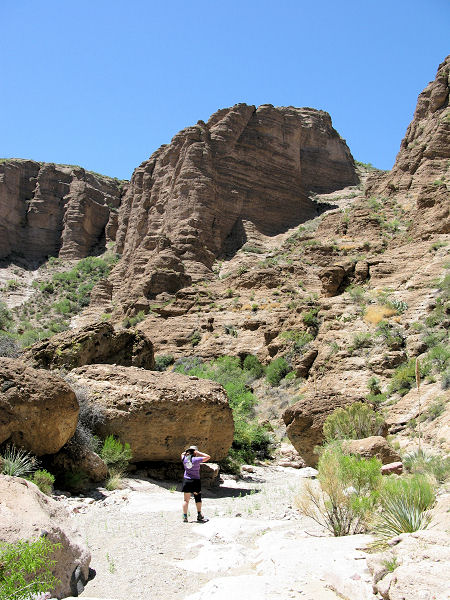
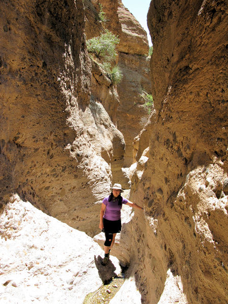
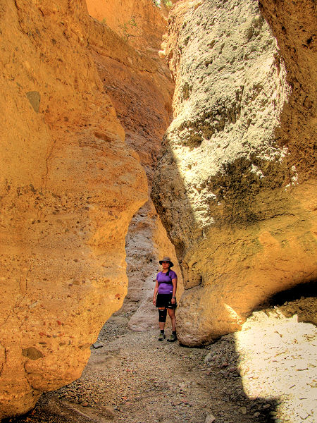
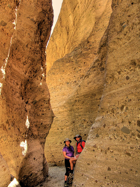
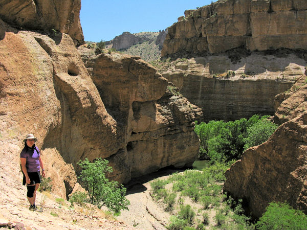
| Hike Description: |
From the car
park you'll have to figure out a route through
the corral, over the barbed wire fence and into
the shallow drainage beyond. Once in the
drainage, simply head down the sandy wash to
arrive at a drop off which is easily bypassed on
the right. Just beyond the drop off, the cliffs
rise around you and the wash enters a very nice
section of narrows that featured a small
flowing spring when I was here. Continue down
through the narrows, completing a few minor down
climbs along the way until you arrive at a
larger chokestone drop. Work you way left to
pick up an old burro trail, which switchbacks
down to the canyon floor below. From this point,
a short walk upstream will bring you to a short
section of narrows and a trickling waterfall
(assuming it's flowing), downstream will bring
you to Eagle Creek and some pools used as
swimming holes by the locals. When ready, return
the way you came.
|
| Rating (1-5 stars): |
 
This canyon is an alternate route for a
section of the
Grand Enchantment Trail - a footpath/route
between Phoenix, Arizona and Albuquerque, New
Mexico. |
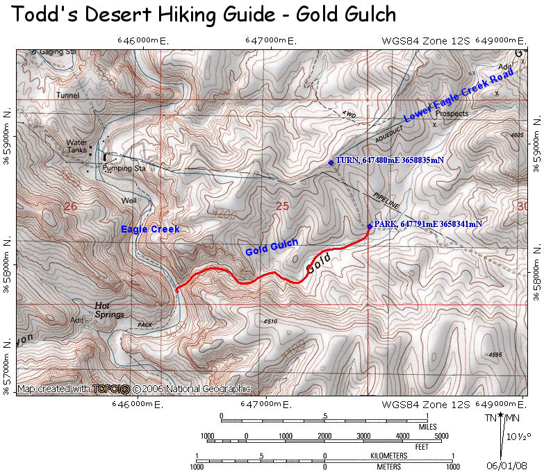
| Maps: |
Click
here for a map of
the hike: |
|
Books: |
None |
| Photos: |
Click picture for larger view, click your browser's 'Back' button to return to this page. |
 |
 |
|
|
Gold Gulch |
The upper narrows. |
|
 |
 |
 |
|
The lower narrows. |
Looking down towards Eagle Creek. |
|
|
