| |
Kolob Arch via Hop Valley - Zion National Park
| Summary: |
A cow plop strewn trail that leads to the worlds largest natural arch. |
| Directions: |
The trail is located in the north west section of Zion Park. Take State Road 9 west out of the park through the town of Springdale. Using the map provided with your entry fee, turn right onto Kolob Road and follow it to the Hop Valley Trail Head on the left. |
| Road Conditions: |
Passenger Car - paved all the way |
| Navigation: |
Easy |
| Length: |
15 miles |
| Date Hiked: |
August, 2001 |
| Weather Conditions: |
Hot, ~90s F |
|
Required Skills: |
 |
| Hike Description: |
From the Hop Valley trail head (complete with bathroom) follow the well defined trail north. A short distance in, you will come to a signed junction (straight: Hop Valley 3 miles, La Verkin Creek 6.5 miles, Lee Pass 13 miles, right: Wildcat Canyon 4 miles). Continue straight and walk through the scrub about a half hour to a gate & 'Private Property' sign. Walk through the gate (close it behind you to keep the cows from destroying any additional public lands) and begin descending towards what probably used to be a very pretty red rock walled valley with a small stream running through it. The smell becomes increasingly bad as you head into the valley (dodging cow pies as you go) & the trail begins to fade. No matter, simply follow cow crap creek down stream, hopping it when necessary to keep your feet dry. Eventually you will reach the other side of the valley and a fence line. Follow the trail up the sandy hill on the right and pass through a gate back onto public land where you can breath a little easier. You will pass an area with some decent camp sites then a sign for "Campsite A (right), La Verkin Creek (straight)", head towards the creek. The trail crosses to the left side of the valley and begins a short steep climb up a ridge. It heads over the top then drops down about 3 times as far to La Verkin Creek in the valley below. The sign at the trail junction near the creek indicates that you've come 6.5 miles to this point and have another mile to go to the arch. Follow the arrow left and in 0.5 miles you will come to the head of the canyon in which the arch lies. Another sign post points right (0.5 miles to Kolob Arch). Follow the trail/stream to the arch view point. Return the way you came. |
| Rating (1-5 stars): |

I wasn't particularly impressed with the arch the first time I visited it, but had some time to kill and decided to attempt this alternate route. This hike is not recommended (unless you have a strong affinity for barn yard smells), the Lee Pass route to the arch is a better alternative. The author and his wife completed this hike in 7.5 hours. |
| Maps: |
Trails Illustrated - Zion National Park, Zion N.P. Park Map |
| Photos: |
Click picture for larger view, click your browser's 'Back' button to return to this page. |
 |
 |
|
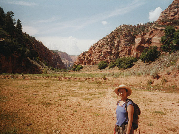
Hopp Valley. |
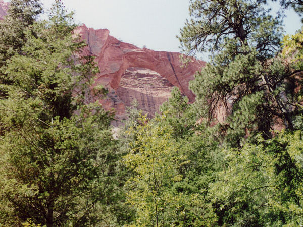
Kolob Arch from the
view point. |
|
|
