| Summary: |
A nice day hike hitting
almost all trails in the monument. |
| Directions: |
From Phoenix drive south
on I-10. About 75 miles south of Tucson exit onto Highway 186. Follow the
brown signs for Chiricahua National Monument pointing left onto Highway 181 into the park.
Entrance fee is $6 per carload (a map is included with the entrance fee).
Drive to the Visitors Center and park. |
| Road
Conditions: |
Passenger car - paved all
the way. |
| Navigation: |
Easy - if you get lost in
this area it's time to spring for a seeing eye dog. |
| Length: |
17.9 miles |
| Date
Hiked: |
April, 2000 |
| Weather
Conditions: |
Warm in the sun,
temperatures reached ~80 degrees. |
|
Required Skills: |
None |
| Hike
Description: |
This is a sample route
that the author and his wife took which enabled them to see most of the monument in one
day. All trails are clearly marked and well trodden (an indication that crowds are
probably the norm in this area). From the Visitors Center take the Ryolite Canyon
Trail 1.5 miles to the junction with the Echo Canyon and Heart of Rocks Trails (1.5).
Bear left onto the Heart of Rocks Trail. An additional 1.6 miles near 'Big
Balanced Rock' a side trail branches left into the Heart of Rocks (3.1 miles). Turn
left and complete this short 1.1 mile loop hike through a neat section of rock formations
(4.2 miles). Upon returning, continue on the Heart of Rocks Trail for another mile
to a junction with the Inspiration Point out & back side trail (5.2 miles). Turn
left and complete this 1 mile round trip side trip (6.2 miles). Continue once again
on the H of R Trail 1.2 miles to the junction with the Hailstone & ??? Trails (sorry -
spaced on this trail name, seem to remember it as some guys name?) (7.4 miles). Turn
right on the latter towards the Echo Canyon car park. After 0.7 miles (8.1 miles)
you will come to a junction with the Massai Point Trail, turn right onto this trail and
hike 0.3 miles to the Massai Loop (a short loop with some interpretive signs &
exhibits. When finished with the loop, hike back the way you came (8.7 miles) and
continue 0.2 miles to a junction with the Echo Canyon car park trail (8.9 miles).
Turn left at this point onto the Echo Canyon Trail, which descends 1.6 miles through some
more neat formations to a junction with the left branching Hailstone Trail (10.5
miles). Stay on the Echo Canyon Trail as it descends into the canyon, follows the
streambed for a short ways then climbs back up the opposite bank to meet the Ryolite
Canyon Trail once again (11.6 miles). Turn right on this trail and follow it back to
the Visitors Center (13.1 miles). Get in your car and drive up the road a bit to the pull off
on the left hand side for the Natural Bridge Trail. Hike this 4.8 mile out and back
trail to a small natural bridge (a nice walk, but the bridge is pretty lame). 17.9
miles total. |
| Rating
(1-5 stars): |

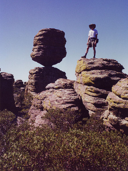
According to the brochure 'Exploring Chiricahua National Monument is
exploring a fantasy world of extraordinary rock sculptures that were created by the forces
of nature over millions of years.' I would have to agree, definitely a unique and
photogenic area - also one that is probably overcrowded most of the time. The author
and his wife completed this hike on Easter Day and, while there were plenty of people, it
wasn't too crowded. |
| Maps: |
Official Chiricahua
National Monument Map - NPS (get this when you pay your entrance fee)
Chiricahua Mountains, Arizona - Rainbow Expeditions |
| Photos: |
Click picture for larger
view, click your browser's 'Back' button to return to this page. |